

Partnership
GISinc is now Axim Geospatial. Read more here.
GISinc is excited to partner with the Texas Department of Information Resources (DIR) and TNRIS through the awarded contract DIR-CPO-4503. Through this contract, GISinc is offering services that help you achieve your GIS goals. This contract may be used by state and local government, public education, other public entities in Texas, as well as public entities outside the state.

How to Order
GISinc’s "Big Brain" will work with you to determine the approach, technologies, and development services needed to fulfill your objectives. For all procurements made through this contract:
- Reach out to GISinc using the form on this page
- Generate a purchase order to GISinc and reference DIR-CPO-4503 Contract Number on your purchase order.
Warranty and Return Policies
GISinc warrants that it will perform the services in good faith and in conformance with professional industry standards. All GISinc employees, that work on the project, shall have the knowledge, education, training, skills and experience of the subject matter to which they will be performing services.
GISinc warrants the completed application against bugs and defects for a period of 30 days after acceptance. Ongoing support, functional enhancements, or performance issues caused by a change in the customer’s IT environment are not included in the warranty. Coverage for these items will require a separate agreement.
Service Descriptions and Specifications
We are all surrounded by location-based data, yet most organizations struggle to use that information. At GISinc, we provide services that help organizations use the information to make better decisions.
Lists of GISinc's Service Capabilities can be found in:
- TX DIR's GISinc Pricing List
- GISinc's State and Local Capabilities Sheet
- Esri Marketplace - GISinc's Premier GIS Services Listing
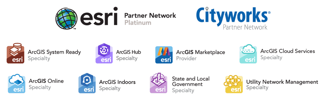
- List of Relevant Esri Specialty Designation Categories:
- Esri Platinum Business Partner
- Cityworks Platinum Implementation Partner
- ArcGIS for Local Government. A collection of templates for common local government workflows, apps and tools. GISinc is assisting in the deployment of these ArcGIS Solutions for Local Government to improve operations and enhance service delivery saving time and money.
- ArcGIS Online. A cloud-based mapping and analysis solution. GISinc is helping local governments make maps, analyze data and to share and collaborate.
- ArcGIS Cloud Services. With the maturity of business systems comes a need for flexible and agile cloud environments and hybrid environments for business continuity and resiliency.
- ArcGIS Release Ready. Awarded to partners that adopt the latest Esri technology, migrate their offerings in a repeatable practice, and have a well-trained staff to support the latest Esri software releases.
- ArcGIS Utility Network Management Extension. GIS based network management for utilities, the new Utility Network (UN) management tool provides more functionality, added flexibility and advanced access to data. GISinc is the first Esri partner to receive the UN partner specialty designation for water utilities.
- ArcGIS Indoors. A complete system for indoor mapping used to connect workspaces with employees and visitors.
- ArcGIS HUB. A community engagement platform that organizes people, data, and tools through information driven initiatives.
Contact Information
For information about how our services and capabilities can be tailored to meet your needs, and for scoping assignments or placing an order, contact:
- For information on quotes or orders, please contact the Texas DIR Sales Representative:
Greg Hymel - 205-725-5858 - For more information on this contract, please contact the Texas DIR Account Manager:
Dawn Siegel - 205-725-5831
Please reference the Texas DIR contract number DIR-TSO-3446 in all communication.

City of Austin - Austin Water Uses SSP Sync for the Transition Planning and Implementation to Esri’s ArcGIS Utility Network
